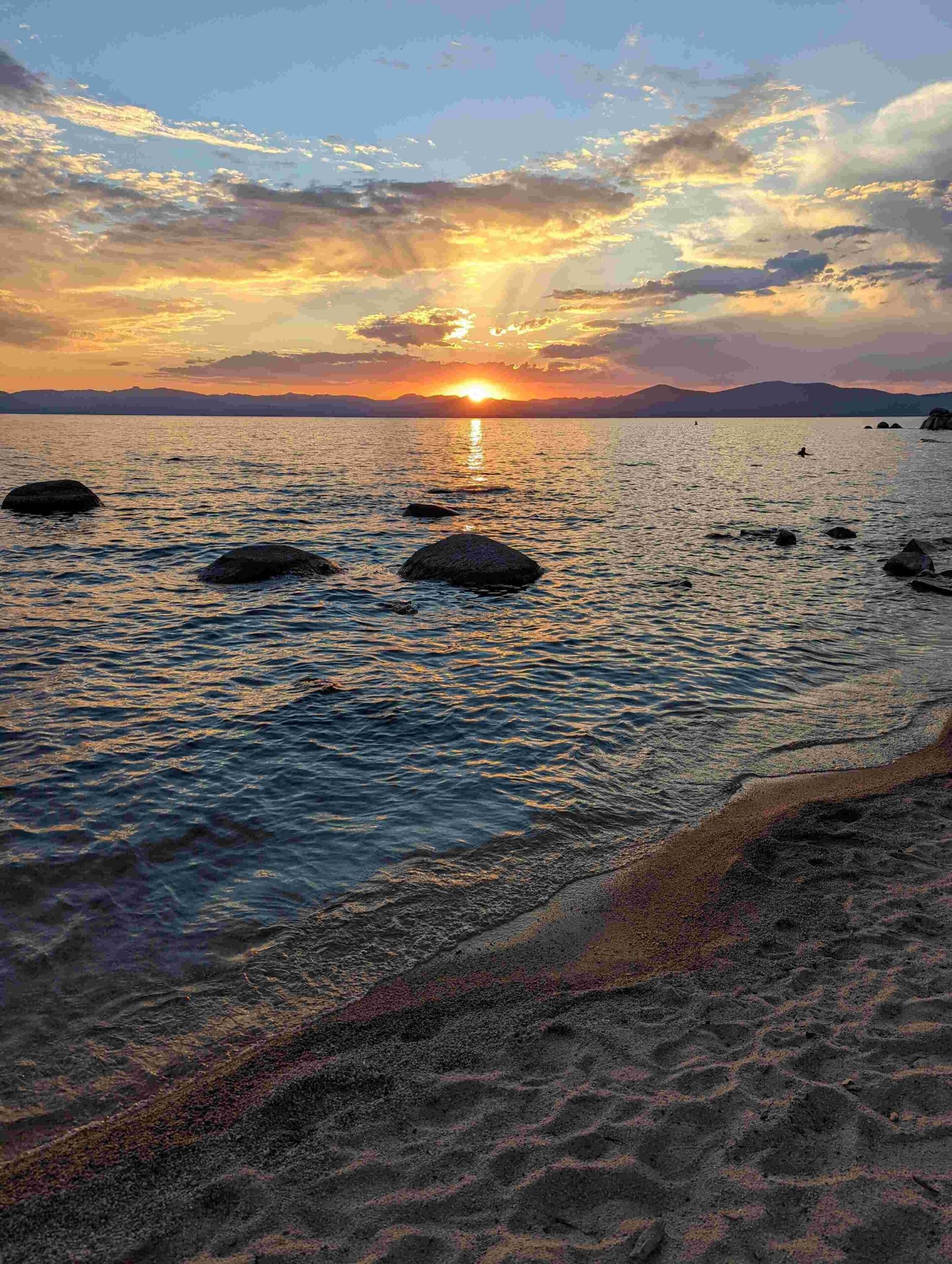
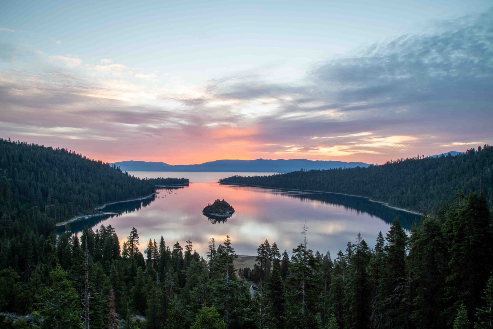
Embark on an extraordinary 250-mile road trip through Northern California’s most stunning landscapes, connecting the crystal-clear waters of Lake Tahoe to the majestic volcanic peak of Mount Shasta. This journey traverses diverse terrains, from alpine lakes and volcanic parks to hidden waterfalls and scenic mountain routes, offering travelers an unparalleled exploration of California’s natural wonders.
What Makes the Lake Tahoe to Mount Shasta Route Unique?

The route from Lake Tahoe to Mount Shasta is more than just a drive—it’s an immersive journey through some of California’s most breathtaking wilderness. Spanning approximately 5-6 hours, this road trip offers travelers multiple opportunities to explore diverse ecosystems, geological marvels, and scenic landscapes.
What Are the Primary Route Options?
Travelers have two primary route options for their Lake Tahoe to Mount Shasta adventure:
- Highway 89 (Volcanic Legacy Scenic Byway)
- Total Distance: Approximately 250 miles
- Estimated Travel Time: 5-6 hours
-
Key Highlights:
- Lassen Volcanic National Park
- Lake Almanor
- Multiple scenic viewpoints
-
Alternative Route via Interstate 5
- Total Distance: Around 270 miles
- Estimated Travel Time: 5.5-6 hours
- Key Highlights:
- Faster highway driving
- More consistent road conditions
- Less scenic but more direct
What Scenic Stops Should Travelers Consider?
| Location | Distance from Route | Highlights | Recommended Duration |
|---|---|---|---|
| Lassen Volcanic National Park | Directly on Route | Geothermal features, hiking trails | 2-4 hours |
| Burney Falls | 1 hour from Mount Shasta | 129-foot waterfall, hiking | 1-2 hours |
| Lake Almanor | Midway Point | 52-mile shoreline, camping | 1-3 hours |
| McCloud Falls | Near Mount Shasta | Three-tiered waterfall system | 1-2 hours |
How Should Travelers Prepare for the Journey?

Seasonal Considerations
- Summer (June-August)
- Best for hiking and outdoor activities
- Expect warmer temperatures (70-85°F)
- Higher tourist traffic
-
Recommended: Light layers, hiking gear, sun protection
-
Winter (December-February)
- Potential snow and road closures
- Require snow chains
- Beautiful winter landscapes
- Recommended: Winter driving kit, warm clothing
Essential Packing List
- Navigation tools (GPS, physical maps)
- Vehicle emergency kit
- Water and snacks
- Hiking boots
- Camera
- Layers of clothing
- First-aid kit
- Portable charger
What Wildlife and Natural Features Can Travelers Expect?
The Lake Tahoe to Mount Shasta route offers incredible biodiversity:
- Wildlife
- Mule deer
- Black bears
- Various bird species
-
Mountain lions (rare sightings)
-
Geological Features
- Volcanic landscapes
- Alpine forests
- Mountain streams
- Volcanic rock formations
Pro Travel Tips
- Check road conditions before departure
- Fill gas tank at major towns
- Download offline maps
- Allow flexible travel time for unexpected stops
- Respect wildlife and natural environments
Recommended Photography Locations
- Black Rock Point
- Emerald Bay State Park
- Lassen Peak
- McCloud River Falls
- Mount Shasta summit viewpoints
Final Thoughts
The Lake Tahoe to Mount Shasta route represents more than a simple drive—it’s a transformative journey through California’s most spectacular natural landscapes. Each mile offers a new perspective, a hidden vista, or an unexpected adventure.

