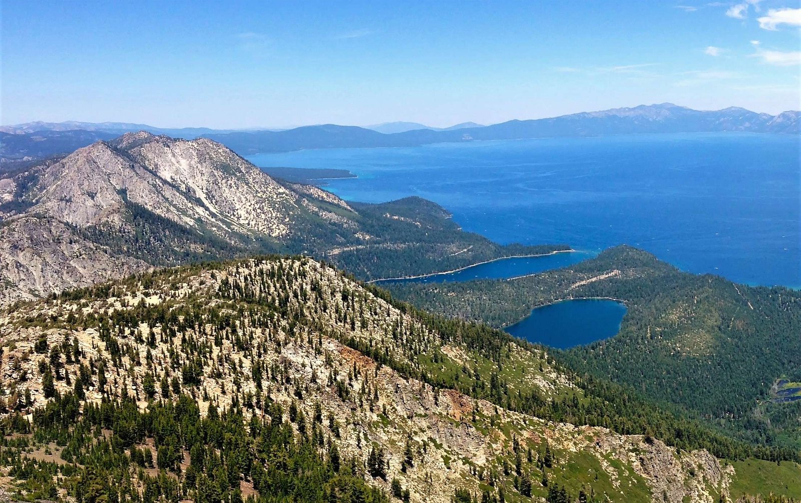
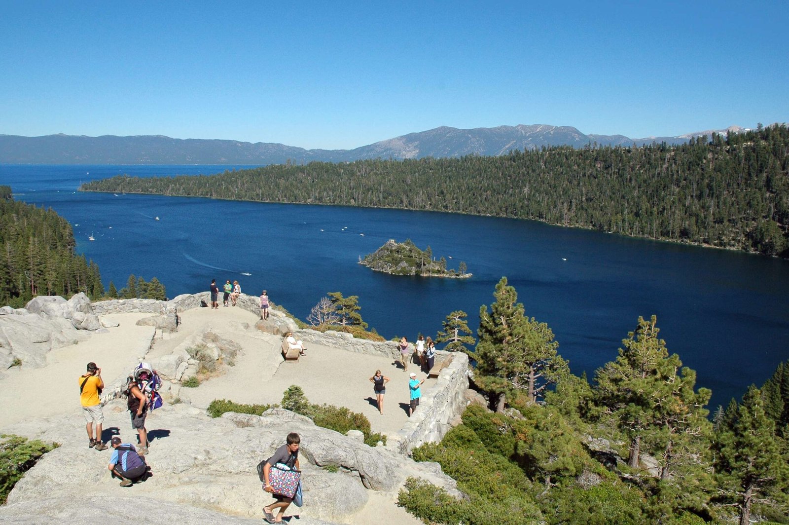
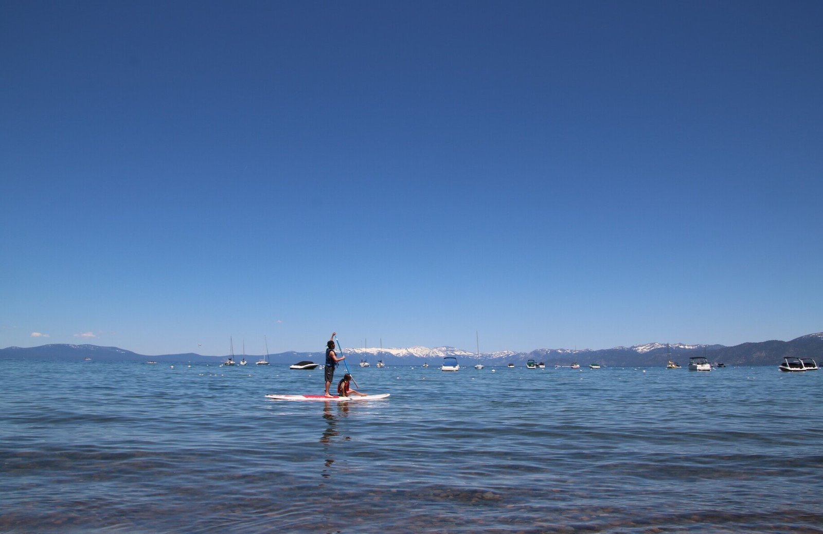
Lake Tahoe’s remarkable perimeter spans approximately 72 miles (116 kilometers), offering adventurers and nature enthusiasts a breathtaking journey around one of North America’s most iconic alpine lakes. This expansive circumference encompasses diverse terrains, from rocky shorelines to dense forest trails, presenting an extraordinary geographical and recreational landscape that attracts thousands of explorers annually.
What Makes Lake Tahoe’s Perimeter Unique?

Lake Tahoe’s perimeter is a complex geographical feature characterized by varied landscapes and challenging terrain. Unlike simple circular lakes, Tahoe’s shoreline presents multiple exploration opportunities across California and Nevada.
How Long Does It Take to Traverse the Entire Perimeter?
| Travel Method | Estimated Time | Difficulty Level |
|---|---|---|
| Hiking | 5-7 days | High |
| Cycling | 1-2 days | Moderate |
| Driving | 2-4 hours | Low |
| Kayaking | 3-5 days | Moderate to High |
What Are the Primary Trail Options?
Exploring Lake Tahoe’s perimeter involves multiple trail systems:
- Tahoe Rim Trail: 165-mile circumnavigation route
- East Shore Trail: 3-mile scenic pathway
- Various Connecting Bike Paths
- State Park Trails
What Challenges Exist When Exploring the Perimeter?
Hikers and adventurers face several significant challenges:
- Elevation changes ranging from 6,225 to 10,000 feet
- Unpredictable mountain weather conditions
- Rugged terrain with rocky and uneven surfaces
- Potential wildlife encounters
- Limited continuous shoreline access
Where Can Travelers Access Different Perimeter Segments?
Key access points include:
- South Lake Tahoe
- Tahoe City
- Kings Beach
- Incline Village
- Emerald Bay State Park
What Preparation Is Necessary for Perimeter Exploration?
Essential preparation involves:
- High-quality hiking boots
- Layered clothing
- Navigation tools
- Sufficient water and nutrition
- First aid kit
- Weather-appropriate gear
How Does the Landscape Change Around the Perimeter?
The 72-mile circumference showcases dramatic landscape transitions:
- Western Shore: Granite cliffs and dense pine forests
- Eastern Shore: More exposed, rocky terrain
- Northern Regions: Alpine meadows and higher elevations
- Southern Sections: More developed, with increased human infrastructure
What Wildlife Might Travelers Encounter?
Potential wildlife sightings include:
- Black bears
- Mule deer
- Coyotes
- Various bird species
- Small alpine mammals
Practical Travel Recommendations

- Plan your journey during summer and early fall
- Check trail conditions before departure
- Carry appropriate permits
- Respect environmental conservation guidelines
Additional Geographical Insights
- Total surface area: 191 square miles
- Maximum depth: 1,645 feet
- Average depth: 1,000 feet
- Water volume: 39 trillion gallons
Safety and Conservation
Travelers must prioritize:
– Leave No Trace principles
– Proper waste management
– Minimal environmental impact
– Respect for local ecosystems
Recommended Seasonal Exploration
| Season | Recommended Activities | Challenges |
|---|---|---|
| Summer | Hiking, Cycling | High Traffic |
| Fall | Photography, Mild Hiking | Early Snow |
| Winter | Limited Access | Extreme Conditions |
| Spring | Emerging Trails | Muddy Conditions |
Final Thoughts
Lake Tahoe’s 72-mile perimeter represents more than a geographical measurement—it’s a dynamic, ever-changing landscape offering unparalleled natural beauty and recreational opportunities.

