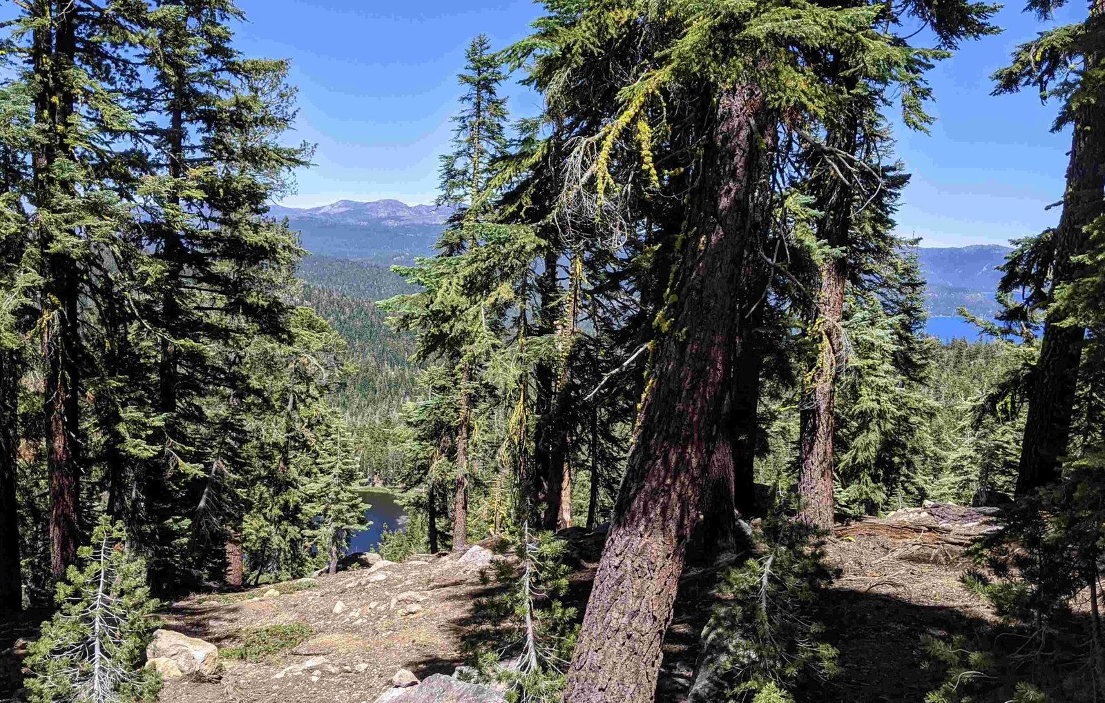
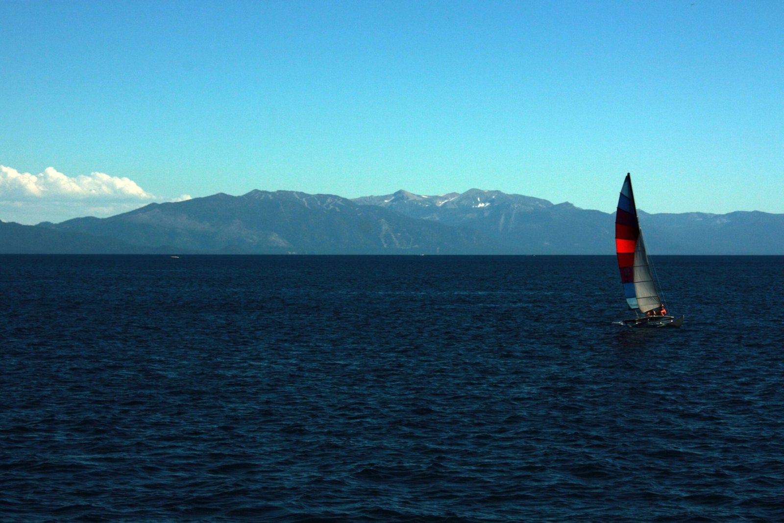
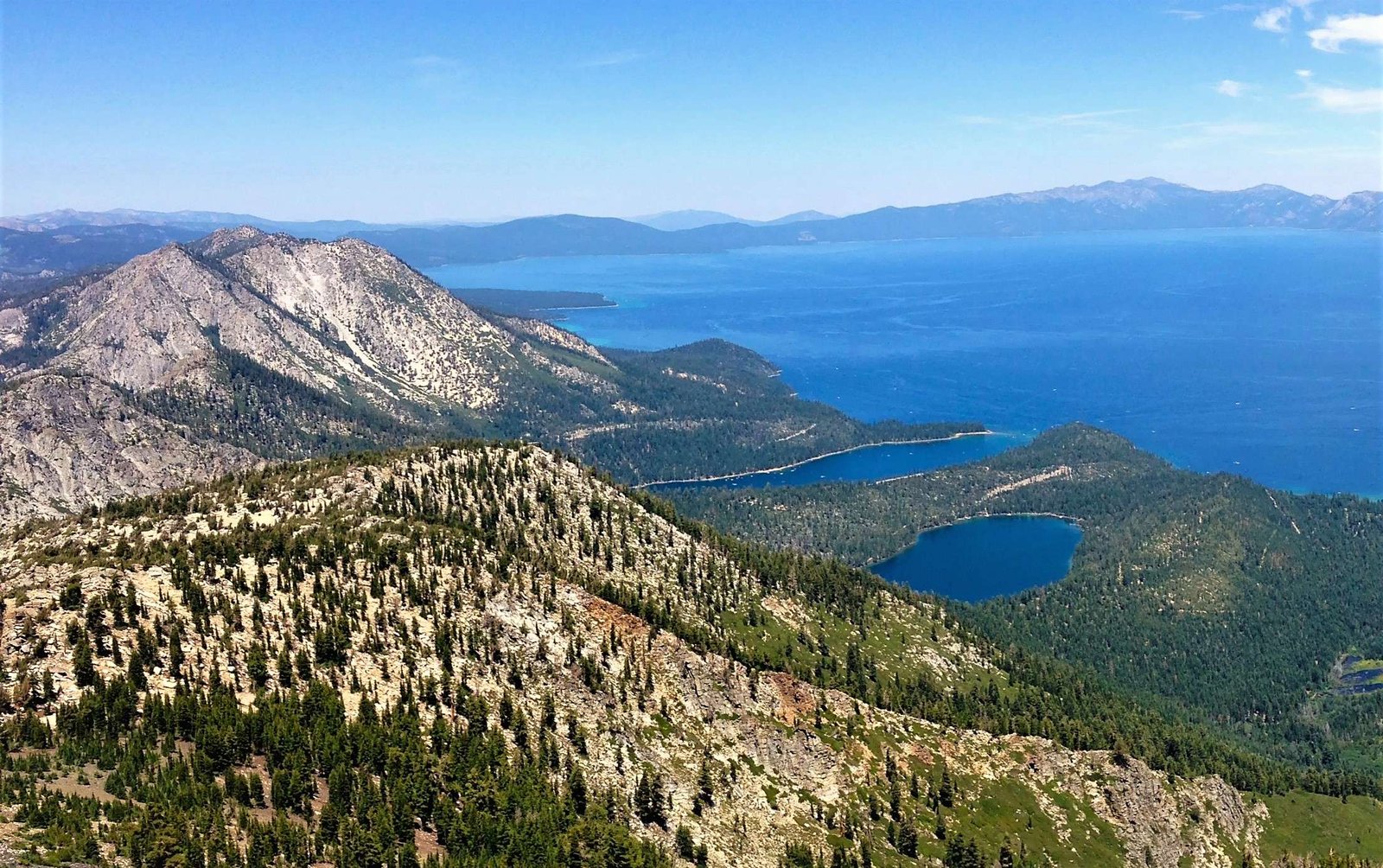
Lake Tahoe from the air offers a stunning panoramic view of the largest alpine lake in North America. Aerial perspectives reveal the lake’s crystal-clear blue waters, surrounded by snow-capped mountains and lush forests. Whether by plane, helicopter, or hot air balloon, experiencing Lake Tahoe from above provides a unique and unforgettable way to appreciate its natural beauty and vast scale.
What Are the Best Vantage Points for Aerial Views of Lake Tahoe?

To capture the most breathtaking aerial views of Lake Tahoe, consider these prime vantage points:
- Emerald Bay: This iconic location offers a picturesque view of Fannette Island nestled within the bay.
- Monkey Rock and Flume Trail: Provides a spectacular 180-degree vista of the lake.
- Bonsai Rock: Known for its unique rock formation and bonsai trees, best viewed during sunset.
- Cave Rock: Offers panoramic views over South Lake Tahoe.
- Eagle Lake and Bayview Trail: Showcases Emerald Bay, Eagle Falls, and Desolation Wilderness.
For optimal lighting conditions, plan your aerial adventure during sunrise or sunset. These golden hours enhance the lake’s natural beauty and create dramatic effects perfect for photography.
How Can You Access Aerial Tours of Lake Tahoe?

Several options are available for experiencing Lake Tahoe from the air:
Helicopter Tours
- Cost: $100 to $300 per person
- Duration: 30 minutes to 1 hour
- Providers: Helicopter Tours of Lake Tahoe
Plane Tours
- Cost: $200 to $500 per person
- Duration: 1 to 2 hours
- Providers: Tahoe Air
Hot Air Balloon Tours
- Cost: $200 to $400 per person
- Duration: 2 to 3 hours
- Availability: Weather-dependent, typically offered in calm conditions
What Are the Best Seasons for Aerial Photography of Lake Tahoe?
While Lake Tahoe is beautiful year-round, certain seasons offer distinct advantages for aerial photography:
| Season | Advantages | Challenges |
|---|---|---|
| Summer | Clear skies, vibrant colors | Busy tourist season |
| Fall | Autumn foliage, clearer water | Potential for early snow |
| Winter | Snow-capped mountains, contrast | Cold temperatures, limited access |
| Spring | Wildflowers, waterfalls | Unpredictable weather |
Summer and fall generally provide the most stable weather conditions and clearest skies, making them ideal for aerial tours and photography.
What Unique Features Can Be Seen from Lake Tahoe’s Aerial View?
From the air, Lake Tahoe reveals several distinctive features:
- Water Clarity: The lake’s famous clarity is even more apparent from above, especially during fall when runoff and boat traffic are minimal.
- Geological Formations: Aerial views highlight unique features like Cave Rock and Bonsai Rock.
- Surrounding Landscape: The contrast between the blue lake and the green forests of the Sierra Nevada Mountains is striking.
- Island Features: Fannette Island in Emerald Bay stands out as the lake’s only island.
- Urban Development: The juxtaposition of developed areas against the natural landscape becomes evident.
How Can You Capture the Best Aerial Photographs of Lake Tahoe?
To capture stunning aerial photographs of Lake Tahoe:
- Use a high-quality camera with a wide-angle lens to capture the expansive views.
- Adjust your camera settings for aerial photography:
- Fast shutter speed (1/1000 or faster) to combat motion blur
- Lower ISO (100-400) for clearer images
- Aperture around f/5.6 to f/8 for good depth of field
- Consider using polarizing filters to reduce glare from the water surface.
- Frame your shots to include both the lake and surrounding landscape for context.
- Experiment with different altitudes and angles to capture unique perspectives.
What Are the Regulations for Aerial Photography Over Lake Tahoe?
When planning aerial photography over Lake Tahoe, be aware of these regulations:
- General photography doesn’t require permits, but commercial photography might.
- Drone usage is restricted in many areas, especially state parks like D.L. Bliss and Emerald Bay.
- Always check with local authorities and state parks for specific regulations before your flight.
- Respect wildlife and maintain a safe distance from sensitive areas.
How Has Satellite Imagery Contributed to Lake Tahoe Research?
Satellite imagery has played a crucial role in Lake Tahoe research:
- Water Quality Monitoring: High-resolution images help track changes in water clarity over time.
- Land Use Analysis: Satellite data reveals patterns of urban development and its impact on the ecosystem.
- Forest Health Assessment: Imagery aids in monitoring forest conditions and identifying areas at risk of wildfire.
- Climate Change Studies: Long-term satellite observations contribute to understanding climate impacts on the lake and surrounding area.
Researchers use platforms like NASA Earth Observatory and USGS EarthExplorer to access detailed satellite imagery of Lake Tahoe, with resolutions as high as 1 meter per pixel.
What Are the Best Air Travel Routes to Lake Tahoe?
For those flying to Lake Tahoe, consider these airports:
- Reno-Tahoe International Airport (RNO)
- Distance from Lake Tahoe: 30 miles
- Airlines: American Airlines, Delta Air Lines, United Airlines
-
Transportation: Rental cars, shuttle services
-
South Lake Tahoe Airport (TVL)
- Smaller airport with limited commercial flights
-
Closer to the southern part of the lake
-
Truckee Tahoe Airport (TKF)
- Serves general aviation and some charter flights
- Located north of Lake Tahoe
Upon arrival, various transportation options are available, including rental cars, shuttle services, and public transportation. However, public transit options may be limited, especially during off-peak seasons.
Experience the majestic beauty of Lake Tahoe from the air for a truly unforgettable perspective on this natural wonder. Whether through a guided tour or your own aerial adventure, the views will leave you in awe of the lake’s grandeur and the surrounding Sierra Nevada landscape.
References:
1. Tunnel Creek Trail and Monkey Rock
2. Top Scenic Locations for Photographers
3. Favorite Photo Locations in Lake Tahoe

