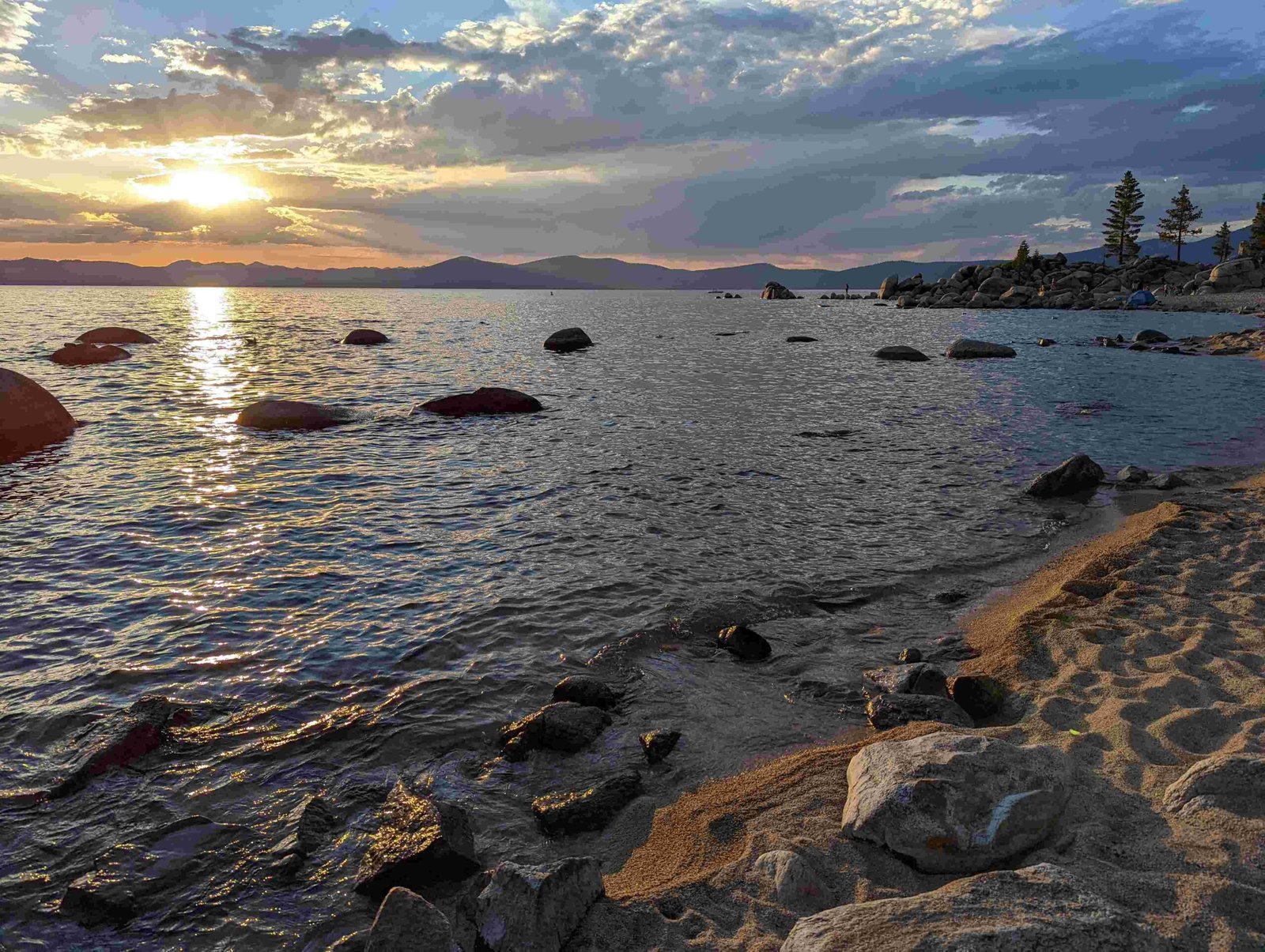
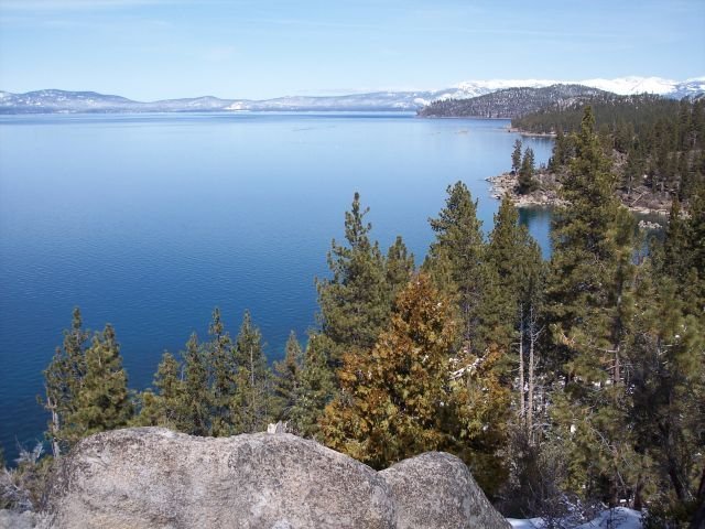
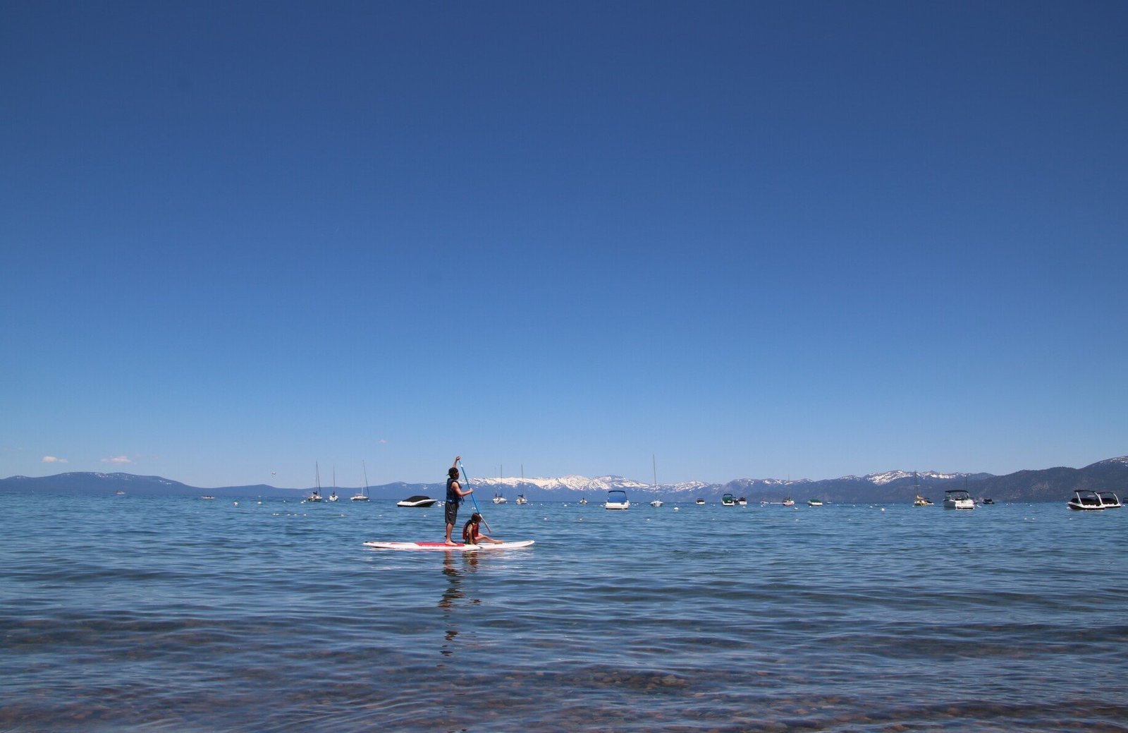
Lake Tahoe, renowned for its crystal-clear waters and stunning alpine scenery, is surrounded by majestic peaks that offer breathtaking views and challenging hikes. The highest peaks around Lake Tahoe include Freel Peak (10,881 ft), Jobs Sister (10,823 ft), Mount Rose (10,776 ft), and Jobs Peak (10,633 ft). These summits, part of the Sierra Nevada and Carson Range, provide unparalleled vistas of the lake and surrounding landscapes.
What Are the Top 10 Highest Peaks Around Lake Tahoe?

The Lake Tahoe area boasts numerous impressive peaks. Here’s a list of the top 10 highest peaks around Lake Tahoe:
- Freel Peak (10,881 ft / 3,317 m)
- Jobs Sister (10,823 ft / 3,299 m)
- Mount Rose (10,776 ft / 3,285 m)
- Jobs Peak (10,633 ft / 3,241 m)
- Red Lake Peak (10,063 ft / 3,067 m)
- Stevens Peak (10,059 ft / 3,066 m)
- Hawkins Peak (10,024 ft / 3,055 m)
- Pyramid Peak (9,983 ft / 3,043 m)
- Dicks Peak (9,974 ft / 3,040 m)
- Mount Tallac (9,735 ft / 2,967 m)
Where Are These Peaks Located?

The highest peaks around Lake Tahoe are primarily located in two mountain ranges:
-
Sierra Nevada: This range includes peaks like Red Lake Peak, Stevens Peak, Hawkins Peak, Dicks Peak, Pyramid Peak, and Mount Tallac.
-
Carson Range: A spur of the Sierra Nevada, this range includes Freel Peak, Jobs Sister, Mount Rose, and Jobs Peak.
Here’s a table showing the geographical coordinates of these peaks:
| Peak Name | Latitude | Longitude |
|---|---|---|
| Freel Peak | 38.85748° N | 119.90002° W |
| Jobs Sister | 38.86230° N | 119.88452° W |
| Mount Rose | 39.34379° N | 119.91780° W |
| Jobs Peak | 38.85820° N | 119.86139° W |
| Red Lake Peak | 38.71383° N | 119.98763° W |
| Stevens Peak | 38.73348° N | 119.98291° W |
| Hawkins Peak | 38.73861° N | 119.87245° W |
| Pyramid Peak | 38.84500° N | 120.15776° W |
| Dicks Peak | 38.90044° N | 120.15095° W |
| Mount Tallac | 38.90592° N | 120.09899° W |
What Are the Best Hiking Trails to These Peaks?
Each of the highest peaks around Lake Tahoe offers unique hiking experiences. Here are some of the best trails:
- Freel Peak Trail
- Length: 10 miles round-trip
- Difficulty: Strenuous
- Estimated Time: 6-8 hours
-
Trailhead: Armstrong Pass Road, near South Lake Tahoe
-
Mount Rose Summit Trail
- Length: 10 miles round-trip
- Difficulty: Strenuous
- Estimated Time: 6-8 hours
-
Trailhead: Mount Rose Highway (NV-431), near Reno
-
Mount Tallac Trail
- Length: 9.5 miles round-trip
- Difficulty: Strenuous
- Estimated Time: 6-8 hours
-
Trailhead: Mount Tallac Trailhead, accessed via Highway 89
-
Pyramid Creek to Pyramid Peak Trail
- Length: 9 miles round-trip
- Difficulty: Strenuous
- Estimated Time: 6-8 hours
- Trailhead: Pyramid Creek Trailhead, accessed via Highway 50
What Views Can Be Expected from These Summits?
The highest peaks around Lake Tahoe offer spectacular panoramic views. Here’s what you can expect:
- Freel Peak: Panoramic views of Lake Tahoe, Carson Range, and the surrounding Sierra Nevada mountains.
- Mount Rose: Expansive views of Lake Tahoe, Carson Range, and the surrounding landscape.
- Pyramid Peak: Stunning vistas of Lake Tahoe, Desolation Wilderness, and surrounding peaks.
- Mount Tallac: Breathtaking views of Lake Tahoe, Emerald Bay, and the surrounding alpine landscape.
What Are the Best Times to Visit These Peaks?
The best times to visit the highest peaks around Lake Tahoe depend on several factors:
-
Season: Summer (June to September) is generally the best time for hiking, with clear trails and milder weather.
-
Time of Day: Early morning for sunrise views and cooler temperatures, or late afternoon for sunset vistas.
-
Weather Conditions: Clear days offer the best visibility. Always check weather forecasts before your hike.
-
Crowd Levels: Weekdays and early mornings tend to be less crowded.
What Should Hikers Be Prepared For?
When hiking the highest peaks around Lake Tahoe, be prepared for:
-
Altitude: These peaks range from 9,700 to nearly 11,000 feet. Acclimatize properly to avoid altitude sickness.
-
Weather Changes: Mountain weather can change rapidly. Bring layers and rain gear.
-
Terrain: Trails can be steep and rocky. Wear appropriate footwear and use trekking poles if needed.
-
Wildlife: Be aware of potential encounters with bears or mountain lions. Carry bear spray and know how to use it.
-
Water and Snacks: Bring plenty of water and high-energy snacks.
-
Navigation: Carry a map and compass, and know how to use them. GPS devices can be helpful but shouldn’t be solely relied upon.
Are There Any Accessibility Options for These Peaks?
Accessibility to the highest peaks around Lake Tahoe varies:
- Parking: Most trailheads have limited parking. Arrive early, especially during peak season.
- Public Transport: Limited in the area. Most hikers rely on personal vehicles or carpooling.
- Seasonal Access: Many trails are inaccessible in winter due to snow. Spring can see muddy and snowy conditions.
- Difficulty Levels: While most of these peaks require strenuous hikes, some areas offer easier trails with partial views.
Remember to always check current conditions and regulations before your hike. The U.S. Forest Service and local ranger stations can provide up-to-date information on trail conditions and any necessary permits.
By exploring the highest peaks around Lake Tahoe, hikers can experience some of the most stunning vistas in the Sierra Nevada. Whether you’re a seasoned mountaineer or a casual day-hiker, these peaks offer unforgettable adventures and breathtaking natural beauty.

