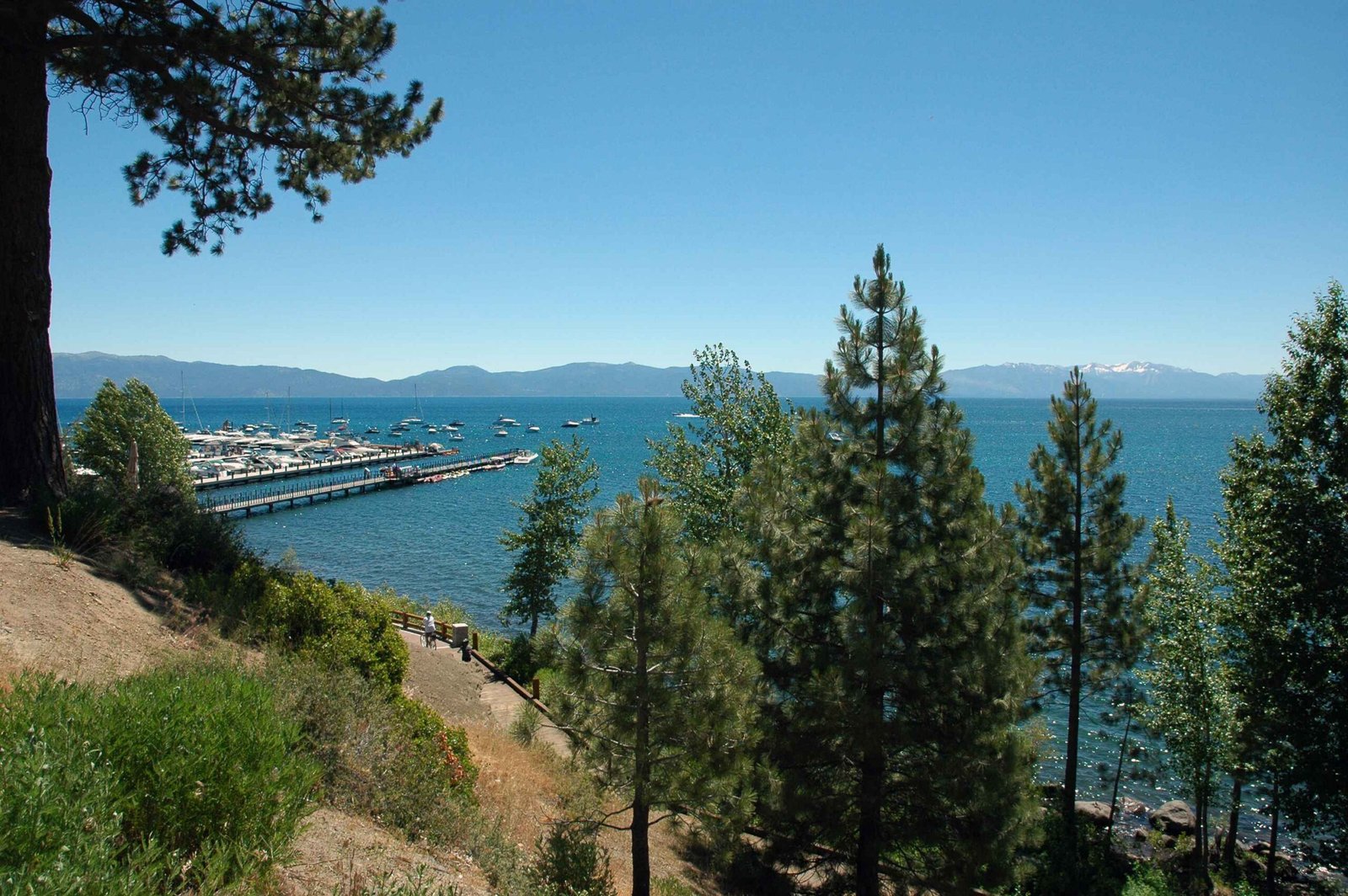
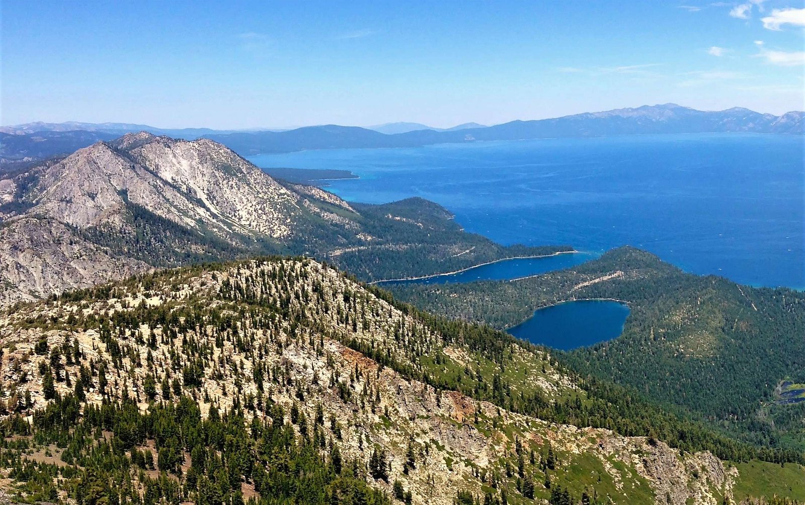
The High Meadow Trail in South Lake Tahoe offers adventurers a breathtaking journey through Sierra Nevada’s pristine wilderness. Spanning approximately 8.2 miles with an elevation gain of 1,544 feet, this trail provides hikers with an immersive experience of alpine meadows, mixed woodlands, and panoramic mountain vistas. Connecting multiple trail systems and offering access to Star Lake, this route challenges outdoor enthusiasts while rewarding them with unparalleled natural beauty.
What Makes High Meadow Trail Unique?

High Meadow Trail represents a quintessential South Lake Tahoe hiking experience, blending challenging terrain with spectacular scenery. The trail’s distinctive characteristics include:
- Diverse Landscape: Traverses through fire roads and single-track trails
- Elevation Range: Starts at 7,847 feet with significant vertical gain
- Scenic Connections: Links with Tahoe Rim Trail and Star Lake Trail
Where Can Hikers Access the Trailhead?

Accessing the High Meadow Trail requires precise navigation:
| Location Detail | Specific Information |
|---|---|
| Primary Access | Pioneer Trail towards Meyers |
| Turn Point | Left onto Oneidas Street |
| Road Type | Paved forest service road (Fountain Place) |
| Parking | Large dirt parking lot on right side |
Trail Difficulty and Preparation
Hikers should anticipate challenging conditions, particularly during winter months:
- Physical Preparation
- Moderate to advanced fitness level recommended
- Expect significant elevation changes
-
Carry appropriate hiking gear
-
Seasonal Considerations
- Winter: Potential snow and ice coverage
- Summer: Wildflower blooming periods
- Early fall: Most stable hiking conditions
What Wildlife and Natural Features Exist?
The High Meadow Trail ecosystem offers remarkable biodiversity:
- Flora: Mixed coniferous forests
- Fauna: Potential wildlife sightings include:
- Mule deer
- Black bears
- Various alpine bird species
- Geological Features: Sierra Nevada mountain range backdrop
How Should Hikers Prepare?
Essential preparation tips for a successful High Meadow Trail experience:
- Required Gear
- Sturdy hiking boots
- Layered clothing
- Navigation tools (map, GPS)
- Sufficient water supply
-
Emergency first-aid kit
-
Safety Recommendations
- Check current trail conditions
- Inform someone about your hiking plans
- Carry bear spray
- Pack sufficient food and water
What Photography Opportunities Exist?
Photographers will find numerous breathtaking moments:
- Star Lake panoramic views
- Sierra Nevada mountain range
- Alpine meadow landscapes
- Seasonal wildflower displays
- Dramatic cliff formations
Trail Navigation Tips
- Total Distance: 8.2 miles round trip
- Estimated Hiking Time: 4-6 hours
- Best Seasons: Late June through early October
- Recommended Direction: Counter-clockwise loop
Additional Trail Connections
Hikers can explore additional routes:
– Tahoe Rim Trail
– Cold Creek Trail
– Star Lake Trail
– Armstrong Trail
Pro Tip: Consider downloading offline maps and checking current trail conditions before embarking on your adventure.
References:
– Tahoe Rim Trail Association
– 10Adventures Trail Guide
– Tahoe Area Mountain Bike Trails (TAMBA)

