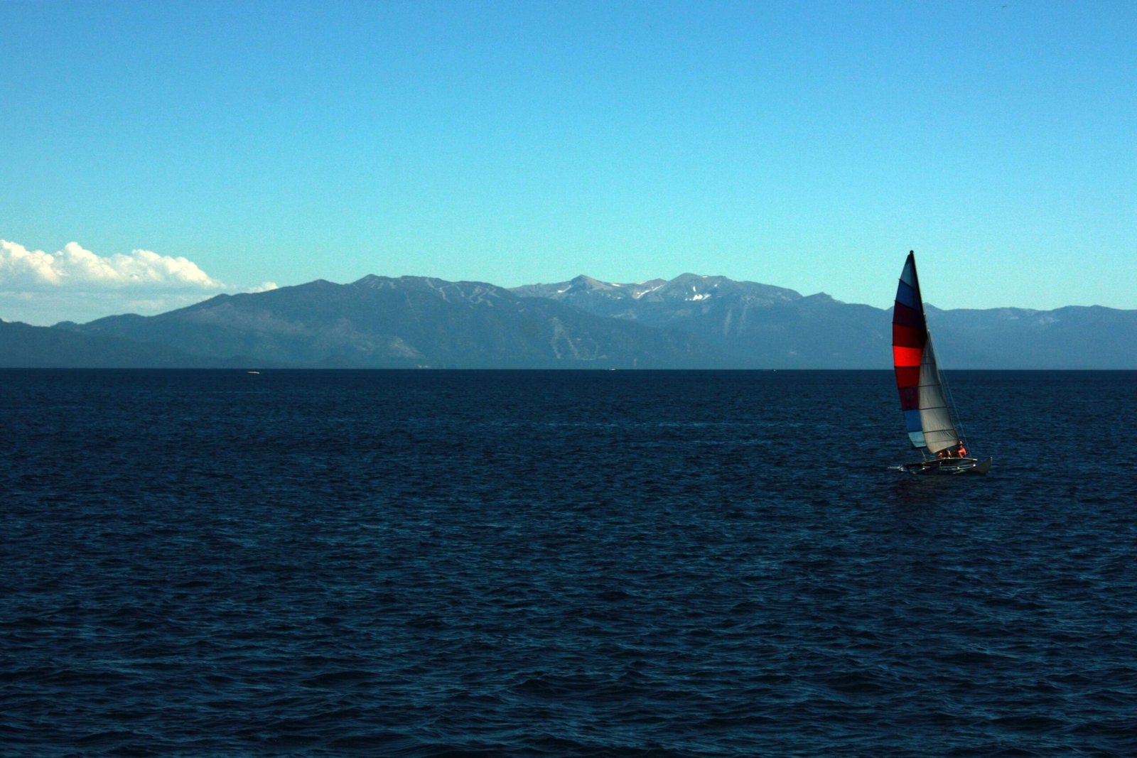
Lake Tahoe’s navigation chart represents a critical resource for boaters, providing comprehensive spatial information about the lake’s intricate underwater landscape. Spanning approximately 22 miles long and 12 miles wide, this alpine lake demands precise navigational understanding, with depths ranging from surface to 1,645 feet, making accurate charting essential for safe maritime exploration and recreational activities.
What Makes Lake Tahoe Navigation Chart Unique?

Why Are Depth Measurements Critical?
Lake Tahoe’s extraordinary underwater topography presents unique navigational challenges. The lake’s remarkable depth profile includes:
| Depth Category | Measurement |
|---|---|
| Maximum Depth | 1,645 feet |
| Average Depth | 989 feet |
| Surface Area | 191 square miles |
How Do Nautical Charts Enhance Boating Safety?
Nautical charts for Lake Tahoe offer multiple critical features:
- Precise Geographic Positioning: Detailed GPS coordinates
- Underwater Terrain Mapping: Comprehensive depth contours
- Hazard Identification: Submerged rocks, shallow areas, and navigation obstacles
- Marina and Launch Site Locations
What Resources Exist for Navigation?
Boaters can leverage multiple navigation resources:
- NOAA Chart 18665: Official nautical chart for Lake Tahoe
- Tahoe Boating Mobile Application: Interactive real-time mapping
- Digital GPS Systems: Integrated lake navigation tools
- Physical Printed Nautical Charts: Comprehensive paper-based references
Where Can Boaters Access Navigation Information?
Navigation resources are available through:
- Online maritime retailers
- Local boating supply stores
- National Oceanic and Atmospheric Administration (NOAA) website
- Mobile application stores
- Local marina information centers
What Safety Protocols Should Boaters Follow?
Critical safety guidelines include:
- Respect designated no-wake zones
- Maintain proper distance from shoreline structures
- Follow marked navigation channels
- Carry required safety equipment
- Check weather conditions before departure
How Do Environmental Factors Impact Navigation?
Lake Tahoe’s unique alpine environment introduces specific navigational considerations:
- Rapid weather changes
- High-altitude atmospheric conditions
- Potential wind-driven wave patterns
- Seasonal water level variations
What Technology Supports Modern Navigation?
Contemporary navigation technologies include:
- Satellite-based positioning systems
- Advanced marine GPS devices
- Sonar depth measurement tools
- Real-time weather tracking applications
Conclusion

Lake Tahoe navigation charts represent more than mere geographical representations—they are comprehensive safety guides enabling memorable and secure aquatic experiences.
