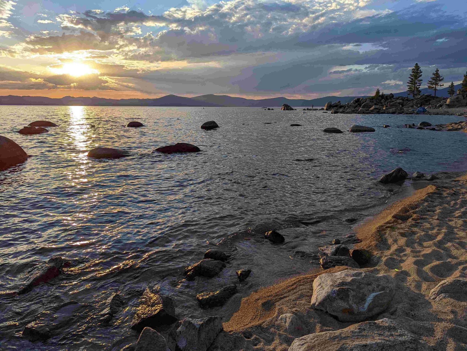
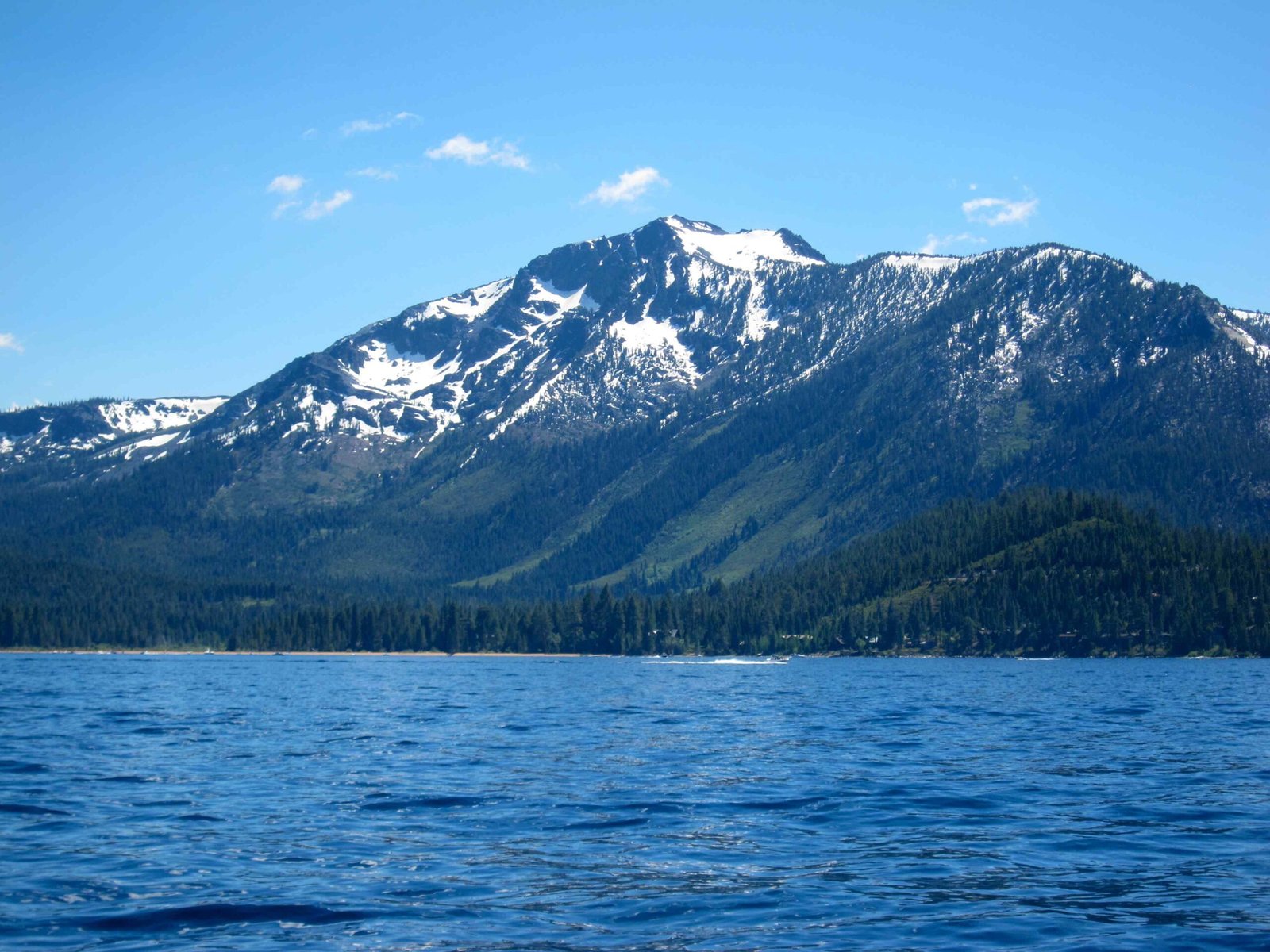
The Lake Tahoe Highway is a mesmerizing network of routes traversing the stunning Sierra Nevada mountain range, connecting California and Nevada through a breathtaking landscape of crystal-clear waters, alpine forests, and dramatic elevation changes. Spanning approximately 72 miles around the lake’s perimeter, these highways offer travelers an unparalleled journey through one of America’s most spectacular natural environments, featuring multiple access points, scenic viewpoints, and world-class recreational opportunities.
What Makes Lake Tahoe Highway Unique?

Lake Tahoe Highway represents more than just a transportation route—it’s a gateway to extraordinary experiences. The primary highways surrounding the lake include:
- U.S. Route 50: Western and southern lake perimeter
- U.S. Route 89: Western and northern lake perimeter
- Nevada State Route 28: Eastern lake perimeter
What Are the Key Scenic Viewpoints?
| Location | GPS Coordinates | Elevation | Highlights |
|---|---|---|---|
| Emerald Bay State Park | 38.9513, -120.0943 | 6,300 ft | Vikingsholm Castle, stunning bay views |
| Sand Harbor | 39.2383, -120.0453 | 6,200 ft | Crystal-clear waters, sandy beaches |
| Heavenly Mountain Resort | 38.9353, -119.9363 | 6,300-10,067 ft | Ski resort, panoramic lake views |
How to Navigate Lake Tahoe Highway?

Seasonal Considerations
Summer Season (June-August):
– Peak tourist traffic
– All routes typically open
– Maximum scenic beauty
– Temperature range: 65-85°F
Winter Season (November-March):
– Potential snow chains required
– Some mountain passes might be closed
– Temperature range: 25-45°F
– Stunning snow-covered landscapes
Travel Tips for Lake Tahoe Highway
- Vehicle Preparation
- Ensure winter-ready tires
- Carry emergency supplies
- Check vehicle maintenance
-
Have snow chains during winter
-
Navigation Recommendations
- Use GPS with updated mountain route information
- Download offline maps
- Check real-time traffic updates
- Follow local highway department advisories
What Attractions Exist Along Lake Tahoe Highway?
Top Recreational Opportunities
- Hiking Trails
- Emerald Bay State Park trails
- Mount Tallac Trail
-
Tahoe Rim Trail segments
-
Water Activities
- Kayaking at Sand Harbor
- Paddleboarding
- Boat tours
-
Fishing excursions
-
Winter Sports
- Skiing at Heavenly Mountain Resort
- Snowboarding
- Cross-country skiing
- Snowshoeing
How to Manage Travel Expenses?
Cost Breakdown
| Expense Category | Estimated Cost Range |
|---|---|
| Fuel | $50-$150 |
| Parking | $10-$30/day |
| Meals | $30-$100/day |
| Attractions | $20-$150/day |
Safety and Preparedness
Essential Recommendations
- Carry emergency communication devices
- Pack layers of clothing
- Bring sufficient water and snacks
- Have a first-aid kit
- Check weather forecasts regularly
Road Condition Resources
- California Department of Transportation (Caltrans)
- Nevada Department of Transportation
- Lake Tahoe Highway Patrol
- Local visitor centers
Final Travel Insights
The Lake Tahoe Highway offers an unparalleled journey through one of America’s most stunning mountain landscapes. Whether you’re seeking adventure, relaxation, or breathtaking scenery, this highway provides an unforgettable experience across California and Nevada’s alpine wonderland.

