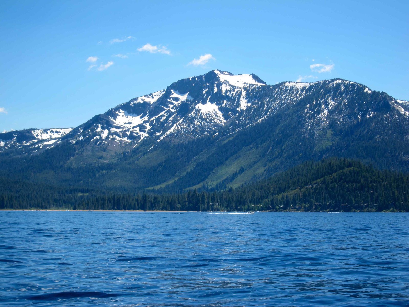
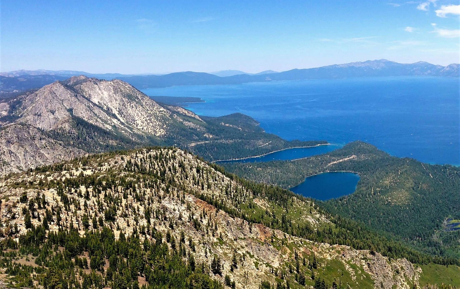
The Lake Tahoe National Scenic Byway represents a mesmerizing 28-mile journey through the Sierra Nevada’s most spectacular landscape, connecting Nevada and California. This extraordinary route offers travelers an immersive experience of alpine beauty, geological wonders, and cultural heritage, winding through pristine lakeshores, historic sites, and breathtaking mountain vistas that capture the essence of Lake Tahoe’s natural splendor.
What Makes the Lake Tahoe National Scenic Byway Unique?

The Lake Tahoe National Scenic Byway is not just a road—it’s a transformative journey through one of America’s most stunning landscapes. Stretching approximately 28 miles along the eastern shore of Lake Tahoe, this route offers travelers an unparalleled visual feast of mountain scenery, crystal-clear waters, and diverse ecological environments.
Where Does the Scenic Byway Begin and End?
| Starting Point | Ending Point | Total Distance |
|---|---|---|
| Stateline, NV | Crystal Bay, NV | 28 miles |
Key Route Characteristics
- Elevation range: 6,225 to 6,500 feet
- Road type: Paved state highway (SR 28)
- Recommended travel time: 1-3 hours
- Best seasons: Late spring through early fall
What Scenic Attractions Can Travelers Expect?

Sand Harbor State Park
Sand Harbor offers more than just a picturesque view. Visitors can enjoy:
– Sandy beaches with crystal-clear water
– Annual Lake Tahoe Shakespeare Festival
– Boat launching facilities
– Hiking trails with panoramic lake views
Cave Rock: A Geological Marvel
Geological Significance:
– Volcanic rock formation
– Sacred site for Native American tribes
– Unique tunnel passage on US 50
– Spectacular photographic opportunities
Hidden Gems Along the Route
- Memorial Point Overlook
- Thunderbird Lodge historic site
- Incline Village scenic areas
- Crystal Bay panoramic viewpoints
How Should Travelers Prepare for the Drive?
Vehicle and Travel Recommendations
- Rent a vehicle with good mountain handling
- Check seasonal road conditions
- Carry emergency supplies
- Bring camera and binoculars
- Pack layers for temperature variations
Best Photography Locations
- Emerald Bay Lookout
- Sand Harbor Beach
- Cave Rock tunnel
- Hidden Beach access points
What Wildlife and Natural Features Exist?
The Lake Tahoe National Scenic Byway traverses diverse ecosystems, including:
– Alpine forests
– Mountain meadows
– Lake shoreline habitats
Wildlife Spotting Opportunities:
– Mule deer
– Black bears
– Various bird species
– Alpine squirrels
Travel Tips and Recommendations
Seasonal Considerations
- Summer: Peak tourism, all facilities open
- Fall: Less crowded, beautiful foliage
- Winter: Limited access, snow potential
- Spring: Wildflower blooming season
Accessibility Information
- Most viewpoints wheelchair accessible
- Parking available at major stops
- Some trails have moderate difficulty
Practical Travel Details
Estimated Costs
- Park entrance fees: $10-$25
- Parking: $5-$15 per vehicle
- Optional tours: $20-$50 per person
Recommended Stops Duration
- Sand Harbor: 2-3 hours
- Cave Rock: 30-60 minutes
- Scenic overlooks: 15-30 minutes each
Safety and Preservation
Travelers are encouraged to:
– Follow Leave No Trace principles
– Stay on designated trails
– Respect wildlife boundaries
– Carry out all trash
Emergency Contacts
- Local Sheriff: (775) 588-5033
- Park Rangers: (530) 543-2600
- Nearest Hospital: Tahoe Forest Hospital
Conclusion
The Lake Tahoe National Scenic Byway offers an unparalleled journey through one of America’s most breathtaking landscapes, combining natural beauty, geological wonder, and rich cultural heritage.

