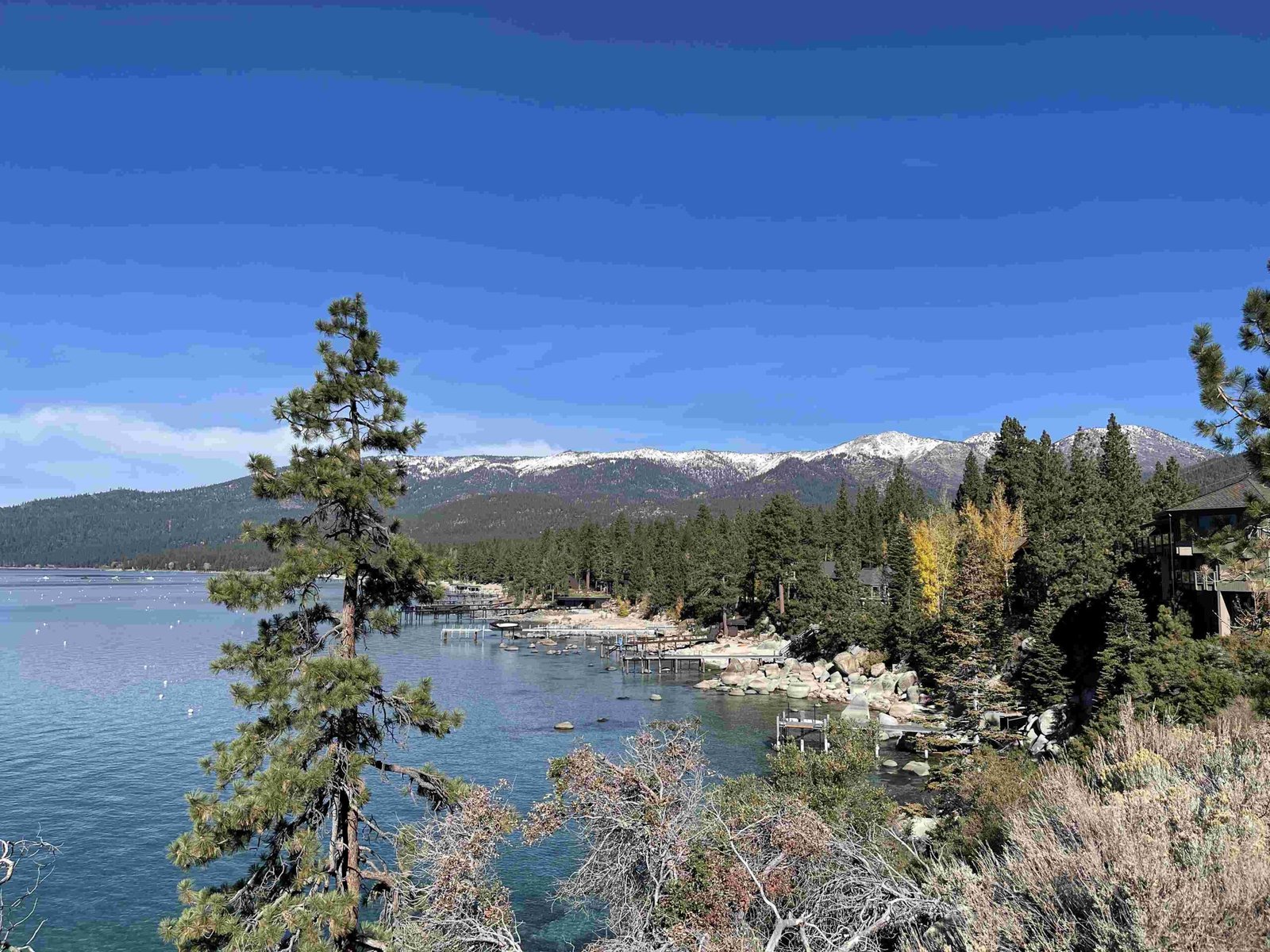
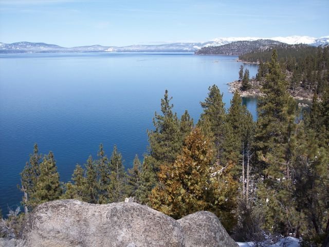
The North Lake Tahoe multi use trail system represents a meticulously designed network of interconnected pathways spanning approximately 30 miles across diverse terrains. These trails offer recreational enthusiasts an unparalleled opportunity to explore the stunning Lake Tahoe landscape through hiking, mountain biking, cross-country skiing, and snowshoeing, providing safe, accessible, and scenic routes that connect multiple communities and natural landmarks.
What Makes North Lake Tahoe Trail System Unique?

Why Choose North Lake Tahoe Multi Use Trails?
North Lake Tahoe’s trail system stands out due to its comprehensive design, offering:
- Year-Round Accessibility: Trails adaptable for summer and winter activities
- Diverse Difficulty Levels: Routes for beginners to advanced users
- Scenic Connectivity: Linking parks, beaches, and community centers
- Environmentally Conscious Design: Minimal ecological disruption
How Extensive Are the Trail Networks?
The trail system comprises multiple interconnected routes:
| Trail Network | Length | Primary Activities | Difficulty |
|---|---|---|---|
| North Tahoe Shared-Use Trail | 6 miles | Biking, Walking | Easy |
| TCPUD Multi-Use Trail | 22.4 miles | Hiking, Cycling | Moderate |
| North Tahoe Regional Park Trails | 6+ miles | Cross-country Skiing, Hiking | Variable |
| Tahoe East Shore Trail | 3 miles | Hiking, Biking | Easy |
What Trail Features Enhance User Experience?
Surface and Infrastructure
Most trails feature:
– Paved asphalt surfaces (10-12 feet wide)
– Clearly marked lanes
– Safety crossings
– Interpretive signage
– Restroom facilities
– Bike repair stations
Seasonal Adaptations
- Winter: Groomed for cross-country skiing
- Summer: Maintained for hiking and cycling
- Year-round accessibility with proper equipment
Where Can Visitors Access Trail Information?
Visitors can obtain trail details from:
– Tahoe City Public Utility District (TCPUD)
– North Tahoe Regional Park
– Local visitor centers
– Online trail mapping resources
What Safety Considerations Exist?
Key safety guidelines include:
1. Maintain recommended speed limits (15 mph)
2. Yield appropriately between user types
3. Carry appropriate gear
4. Check seasonal conditions
5. Stay on designated paths
How Do Trails Connect Local Communities?
The North Lake Tahoe multi use trail system strategically connects:
– Tahoe City
– Olympic Valley
– Dollar Creek
– Carnelian Bay
– Meeks Bay
What Equipment Do Travelers Need?
Recommended equipment varies by season:
– Summer: Comfortable walking/cycling shoes, water, sunscreen
– Winter: Cross-country skis, snowshoes, warm layers
– Year-round: Trail map, communication device, basic first-aid kit
Conclusion

The North Lake Tahoe multi use trail system offers an exceptional outdoor experience, blending natural beauty with thoughtful infrastructure. Whether seeking recreational activities or transportation alternatives, these trails provide something for every outdoor enthusiast.

